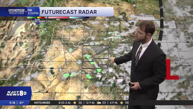
Rain increasingly likely on Saturday
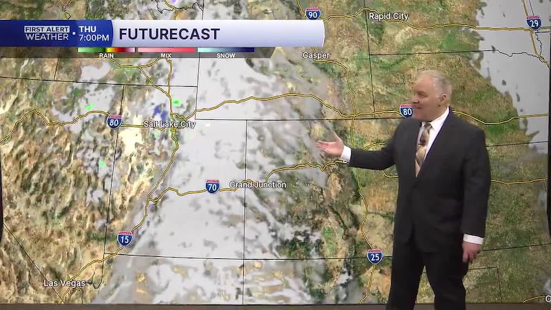
GRAND JUNCTION, Colo. (KJCT) - The rest of this week will stay dry, then rain and mountain snow will fall this weekend.
Wednesday’s Forecast
Wednesday will be mainly sunny with a few passing clouds. We’ll warm from low-to-mid 30s at 7 AM to low-to-mid 50s at noon, then to upper 50s and lower 60s at 4 PM. High temperatures in the afternoon will be near 62 degrees around Grand Junction, 58 degrees around Montrose, 60 degrees around Montrose, 61 degrees around Cortez, and 61 degrees around Moab. Low temperatures in the morning will be near 37 degrees around Grand Junction, 32 degrees around Montrose, 33 degrees around Delta, 32 degrees around Cortez, and 39 degrees around Moab.
Our Next Rain Maker Arrives Saturday
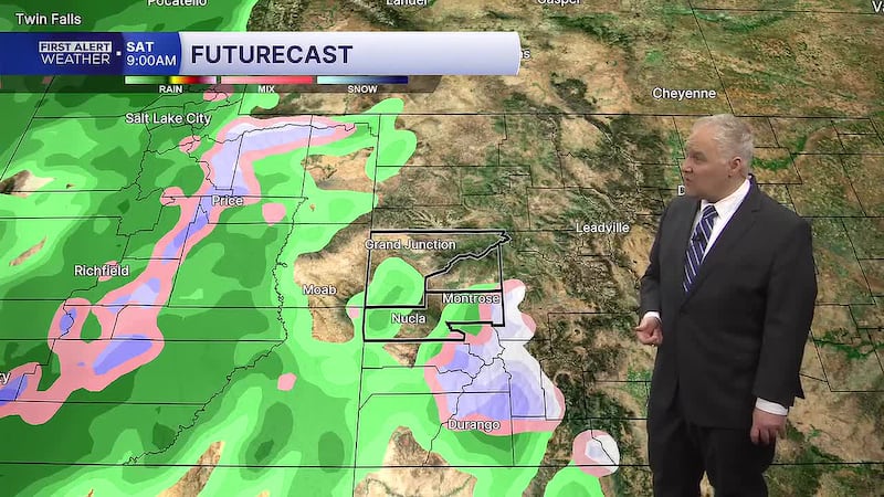
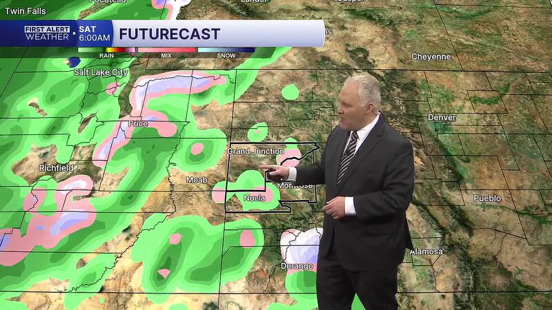
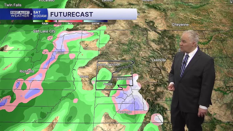
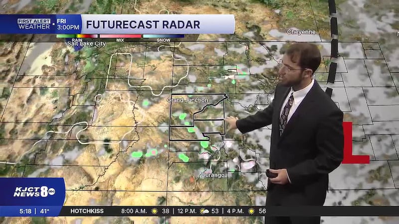
Two opportunities for rain are in our forecast over the next week. Our next rain maker is on track to arrive on Saturday. A few showers are possible Friday night. The biggest part of the rain will increase across Western Colorado between about 5 AM and 10 AM. Snow will increase over the central and southern mountains in that same time frame. Periods of rain and mountain snow will fall through Saturday afternoon and evening, then it will begin breaking up between 8 PM and midnight. Snow will be slower to end. It will diminish Saturday evening, then fade to an end between about 4 AM and 8 AM Sunday. Sunday will be dry, but another round of rain won’t be far away. We will fine tune this forecast as new data is available later this week. Be sure to check back for updates.
More Rain Early Next Week
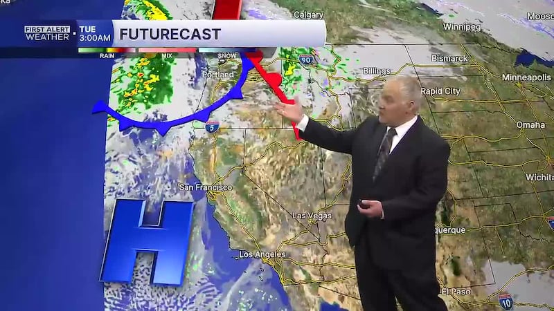
That next round of rain is on track to arrive late Monday night or early Tuesday morning. Mountain snow can fall and slow travel between the Western Slope and the Front Range, so make sure you figure that into your plans if you’re traveling. We will fine tune this forecast as new data is available later this week. Be sure to check back for updates and more specific information this weekend and early next week.